Overview
Hydrogeological Services
Provided by Indiana Licensed Professional Geologists:
- Collection and interpretation of well logged data for preliminary resource identification
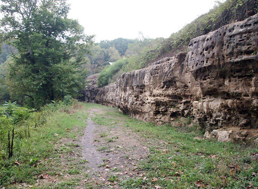
- Examination of high resolution aerial photography and on-site locating of bedrock fractures
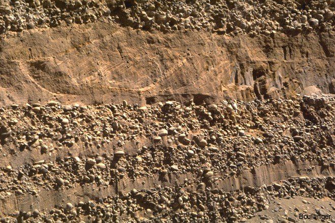
- Geophysical surveying to determine depth/thickness/trend of water bearing sands, gravels and bedrock fractures
- Analysis of pumping test data to determine aquifer parameters and yield potential
- Subsurface mapping/groundwater modeling for resource optimization and “Wellhead Protection” compliance
- Evaluation of production well/source water characteristics for well rehabilitation


